Activate voucher
Voucher code
Activate voucher
We restore forests by drone. 10x faster.
Science. Technology. Results. — every step adapted to local terrain, climate, and soil conditions.
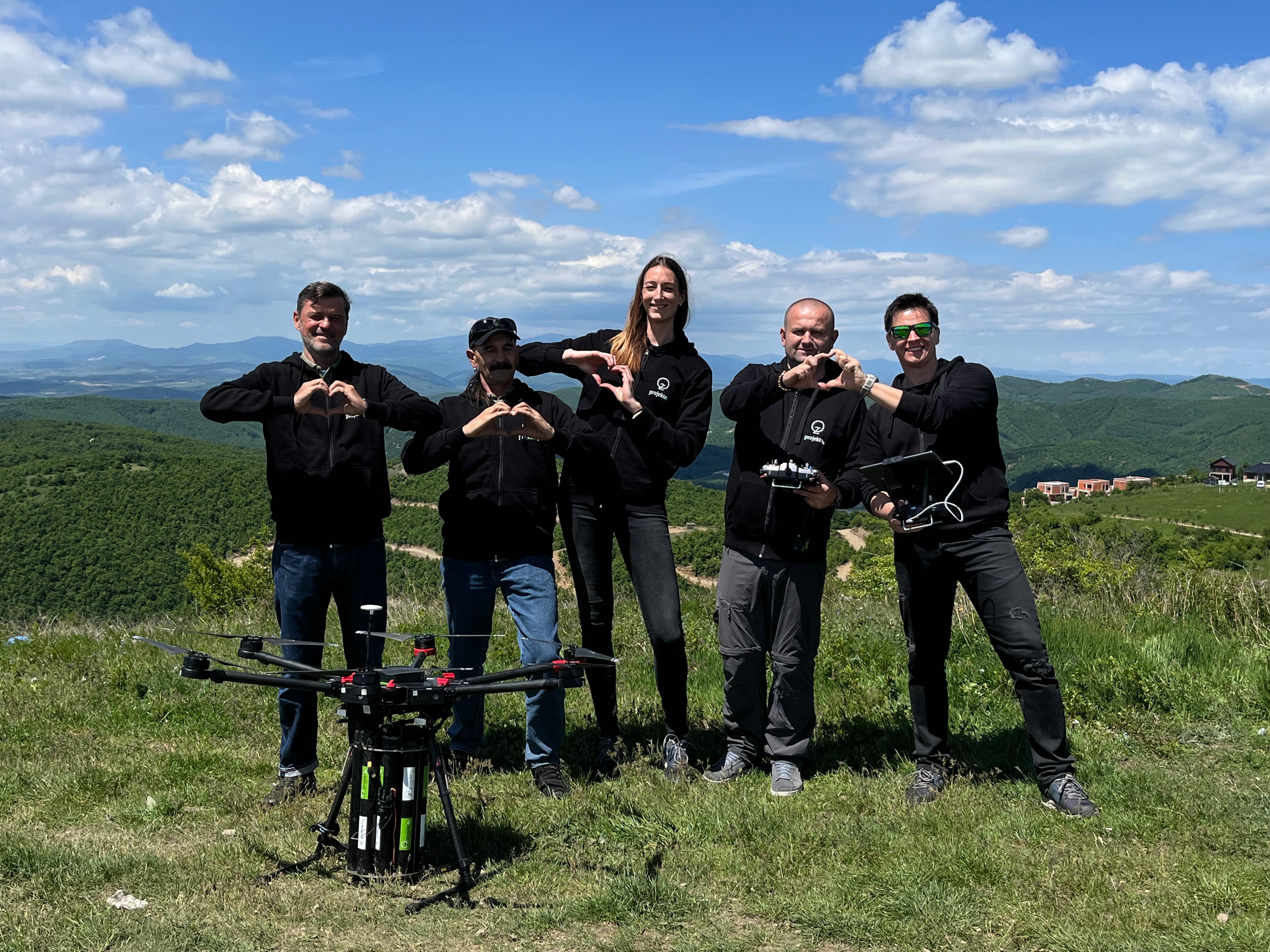
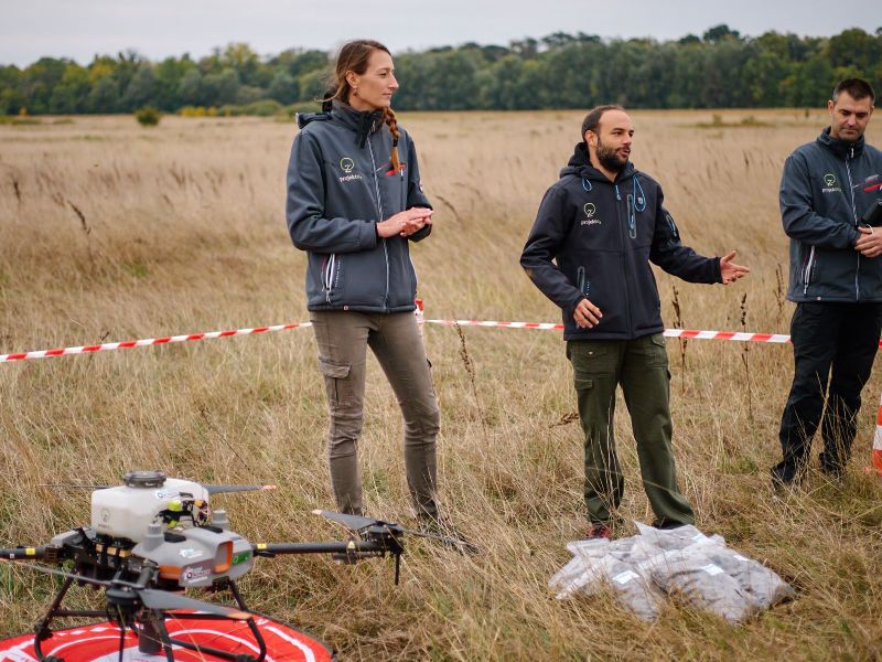
Our team conducts expert terrain analysis — GIS mapping of soil, climate, slope, and existing vegetation. UAV surveys with multispectral cameras provide a precise picture of conditions before planting.
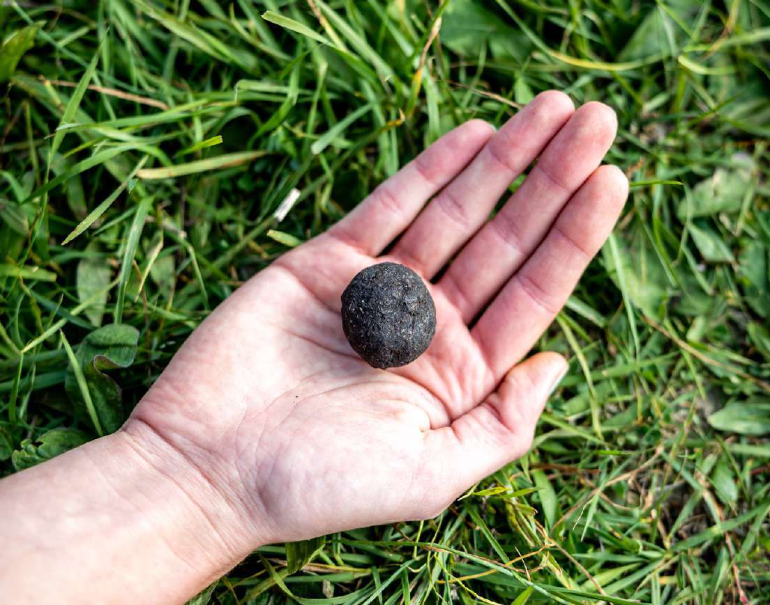
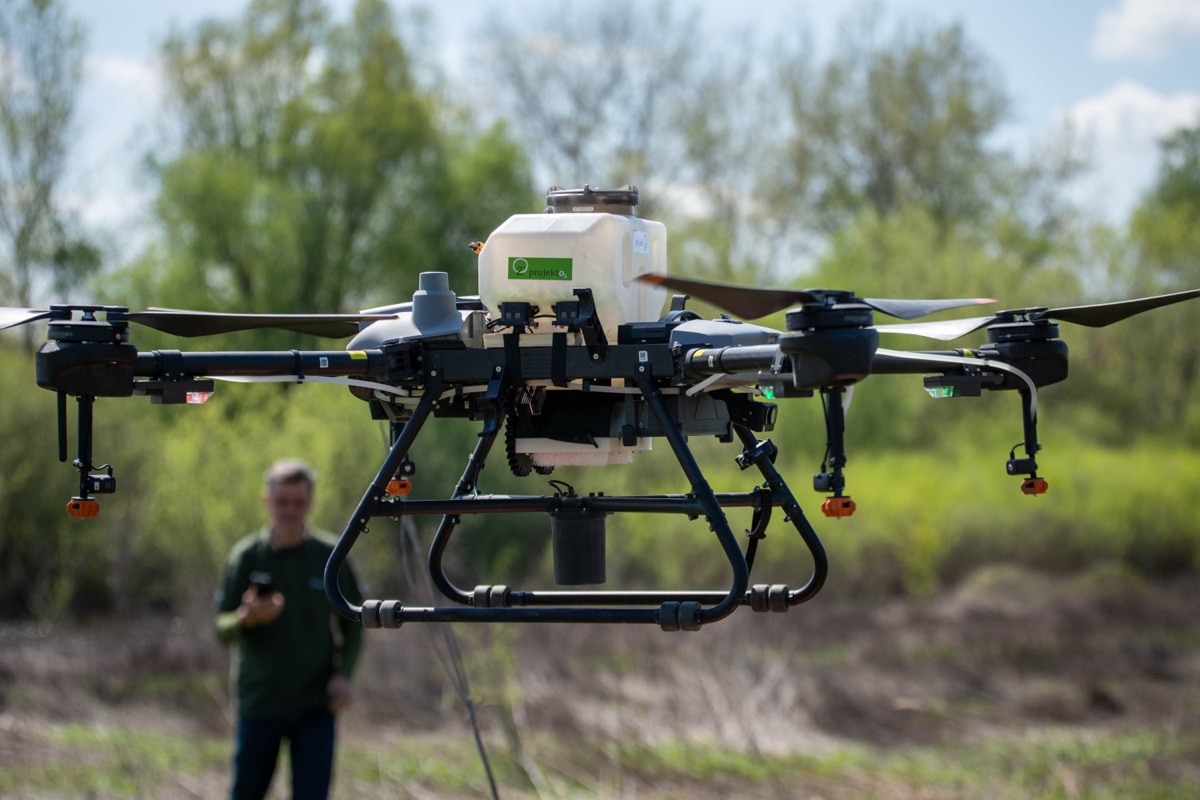
30+ native species per location. Each recipe contains mycorrhiza, biostimulants, hydrogels, and natural repellents — tailored to the specific soil and climate of the terrain.
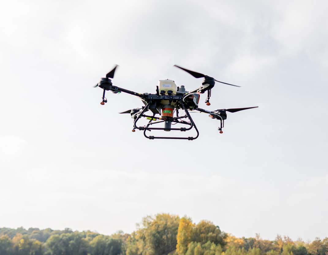
RTK-GPS drones distribute SeedBombs with 10cm precision. We cover up to 5 hectares per day — steep slopes, fire-damaged and eroded terrains inaccessible to traditional methods.
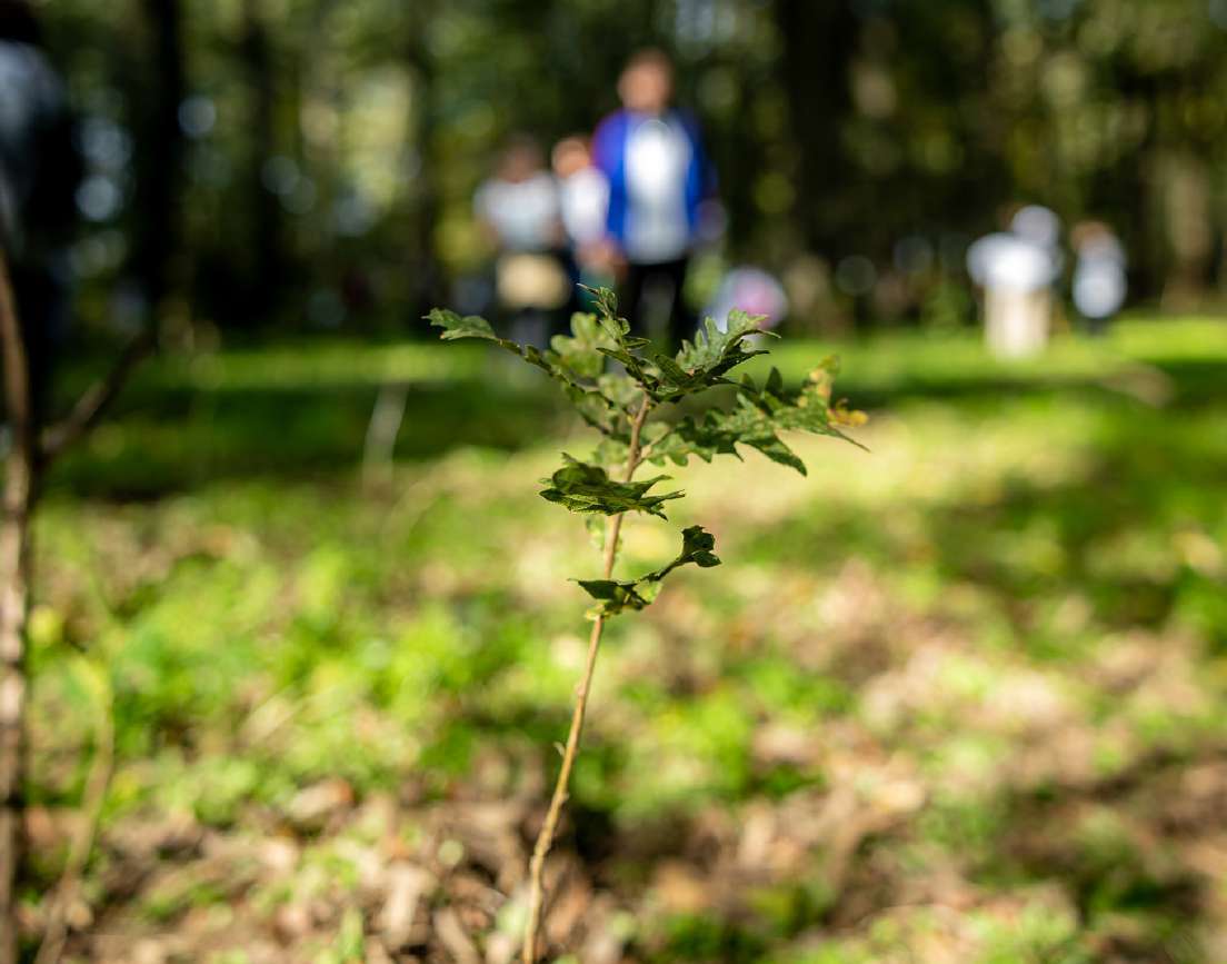
LiDAR and multispectral cameras on drones track forest development from the air. Quarterly reports with germination, growth, and biodiversity data — for years after planting.
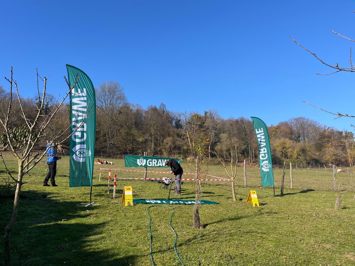
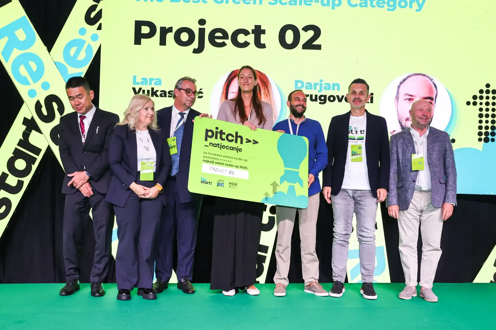
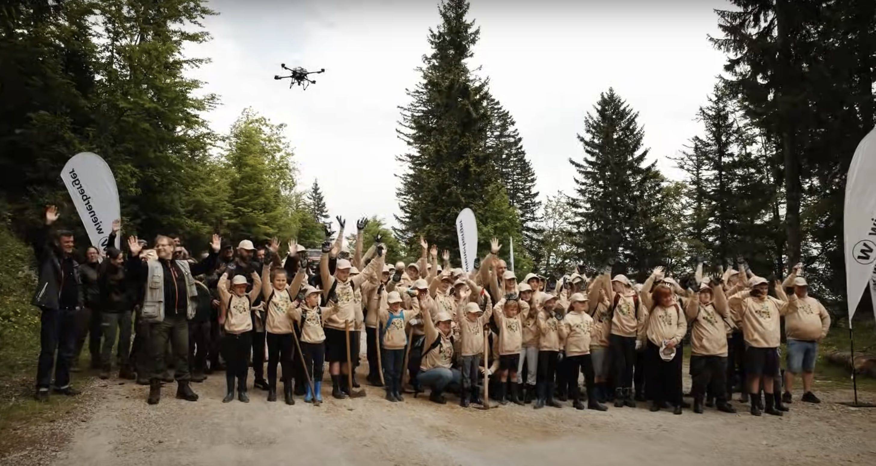
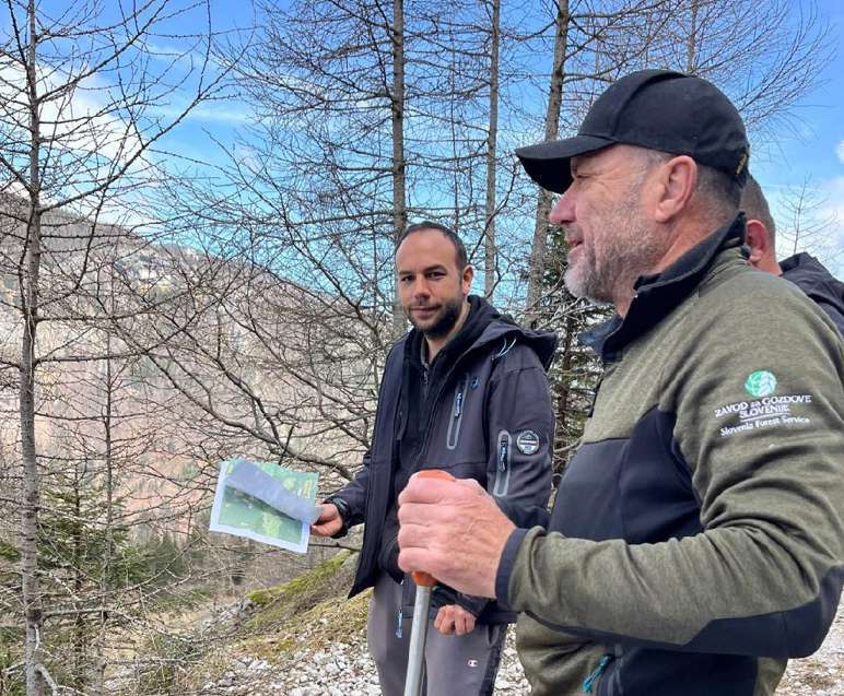
We collaborate with state forestry services and restoration institutions across Europe.


![[KONČAR & ProjektO2] Pošumljavanje Grubišnog Polja](https://i.ytimg.com/vi/Sf1X9G2QHyQ/hqdefault.jpg)

![[PBZ & Projekt O2] PBZ Šuma](https://i.ytimg.com/vi/GWmn1MiUoRk/hqdefault.jpg)
Pilot project, institutional partnership, or ESG program — get in touch.
Or directly at info@project-o2.org